Digital ortho, georeferenced or georectified aerial photography imagery is the standard delivery for nearly every aerial survey project involving engineering, surveying or GIS projects. Terra Flight Aerial Imaging routinely provides custom Digital Ortho Aerial Imagery to a large customer base to suit their needs. These customers typically require new and higher resolution imagery than is available from dated stock internet sources.
What is a Digital Ortho Image?
An orthophoto is a digital vertical aerial photograph that has been orthorectified (or geometrically corrected) by removing the distortion. The orthorectified image then projects a uniform and very accurate scale across the entire image. The orthorectified digital image is then fully georeferenced by assigning a geocoded (X and Y) coordinate value to every pixel in the aerial image. Digital Ortho Aerial Imagery is used in engineering and or survey data software programs such as AutoCAD, ArcView or ArcGIS, among many others. All digital ortho imagery provided by Terra Flight will meet ASPRS Class I, II and III standards.
Terra Flight Aerial Imaging uses specialized photogrammetric ortho software such as SimActive to process the raw aerial imagery into a digital ortho image. All of our projects meet or exceed National Map Accuracy Standards such as FGDC-STD-008-1999.
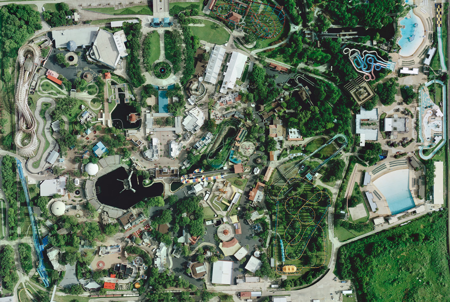
Amusement Park Imagery at 3 CM GSD
Examples – AutoCAD Vector Map with Digital Ortho Image Overlay
The examples below illustrate how a digital ortho image opens as an image layer in AutoCAD. In the examples below there are approximately six layers of CAD data shown.
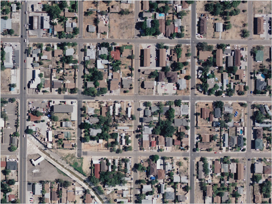
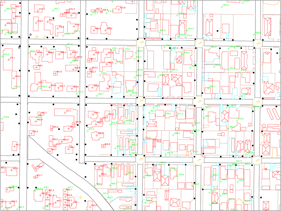
In this example this project was a flood study for a city in southwest Texas that covered approximately 75 square miles.
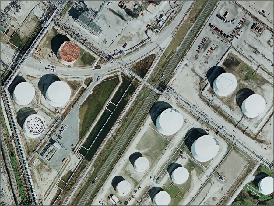
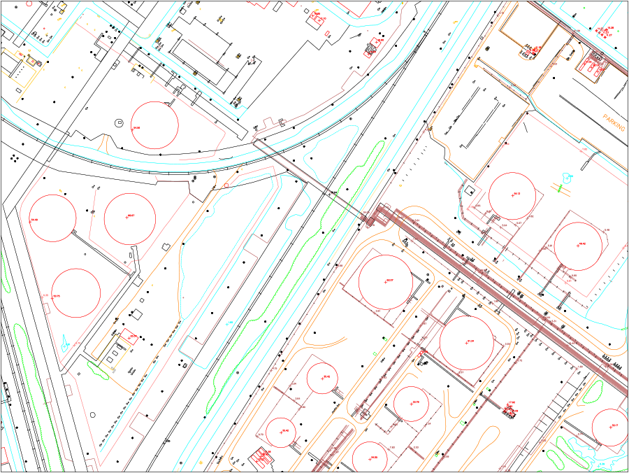
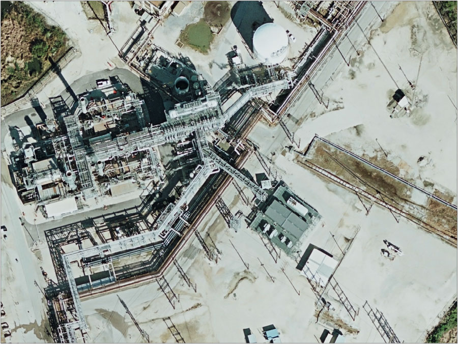
This example shows a petrochemical facility located in the Houston, Texas area.
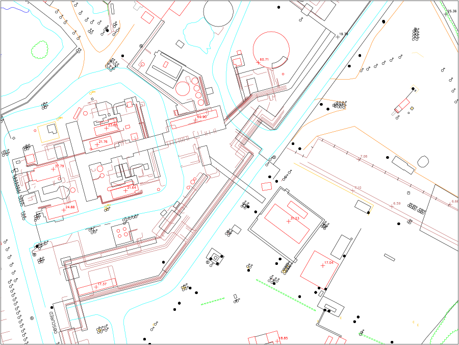
This example shows a petrochemical facility located in Beaumont / Port Arthur, Texas area.