Vexcel UltraCam Falcon Digital Aerial Sensor
Terra Flight provides its clients vertical format aerial photography services by utilizing the most innovative and precise digital aerial sensor currently produced. This aerial sensor offers proven camera technology ensuring high geometric and radiometric resolution.
This aerial sensor fully supports photogrammetric aerial survey missions for a wide range of aerial survey applications including GIS projects to full planimetric and contour mapping.
- Features a large format image footprint of 17,310 pixels X 11,310 pixels.
- We routinely obtain imagery at a pixel resolution of 2.5 CM (1-inch) to 30 CM (1-Foot) in full stereo for photogrammetric mapping projects.
- The Vexcel UltraCam Falcon obtains imagery in PAN, RGB and NIR bands simultaneously during image acquisition operation.
- This camera system is a fully calibrated for photogrammetric mapping.
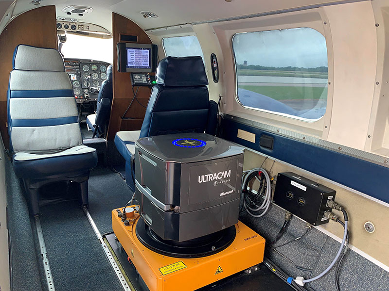
Vexcel UltraCam Falcon Installed in TFAI Piper Navajo Aerial survey aircraft.
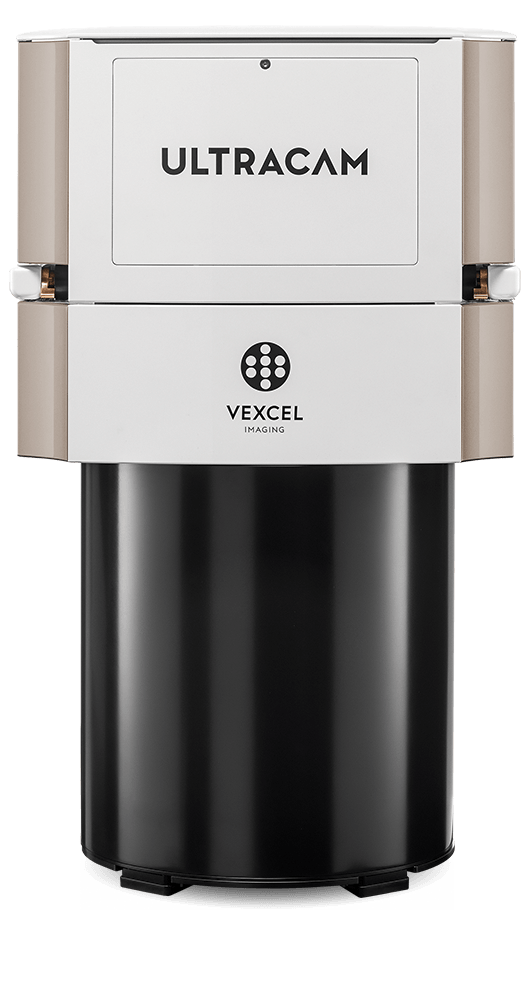
Falcon Digital Sensor
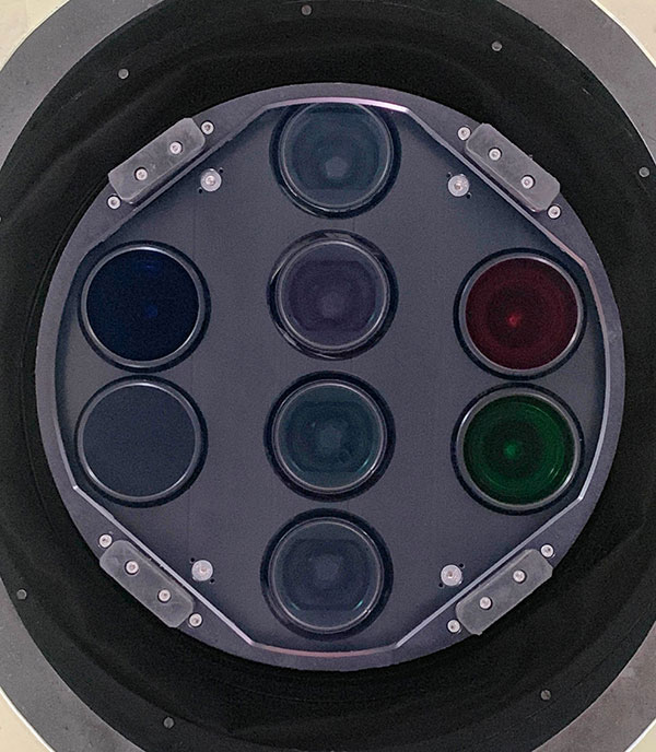
Bottom View of the Vexcel UltraCam Falcon Mk II