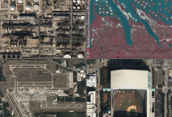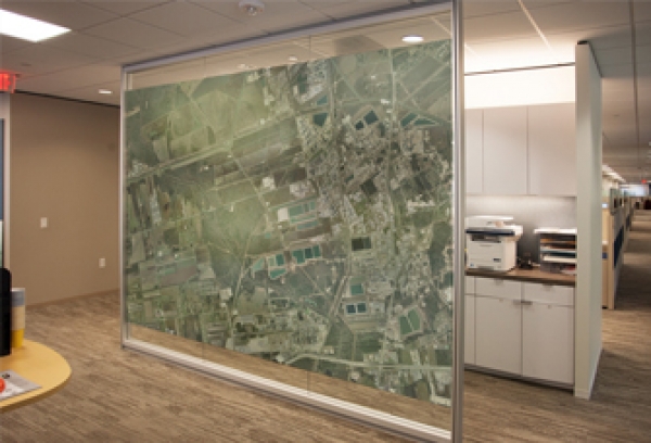

The employee’s at TFAI has decades of experience in the aerial surveying and aerial photography industry. Drawing on this experience, we offer precise and accurate results for aerial data acquisition services. It is our commitment to our customers to provide high quality aerial imagery and LiDAR data sets in a timely manner at competitive prices.
Specializing in Airborne Geospatial Data Acquisition
Welcome to Terra Flight Aerial Imaging, INC.
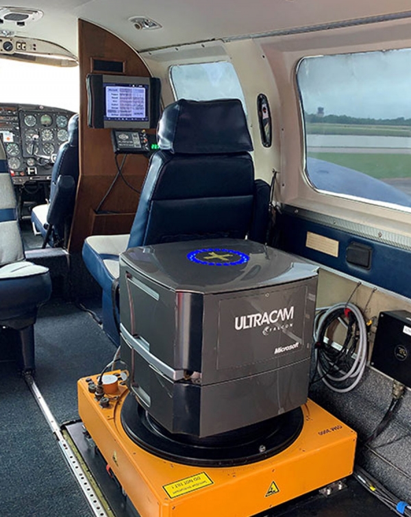
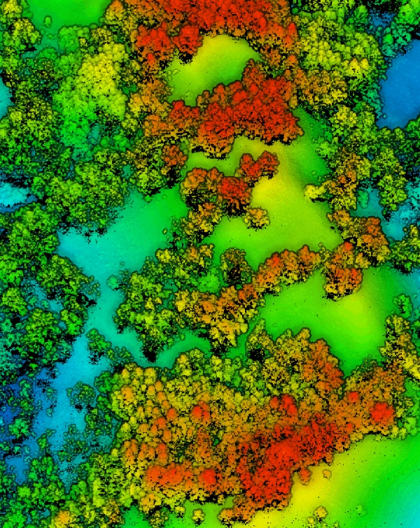
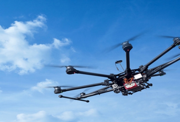
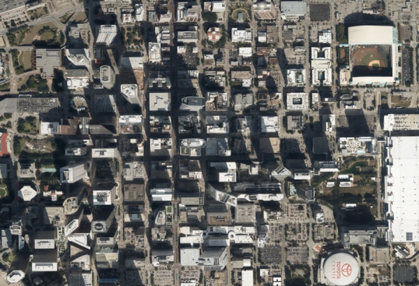
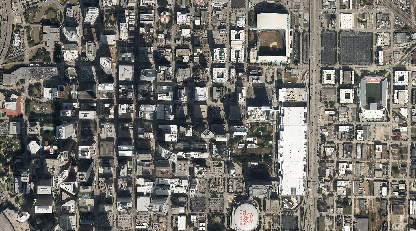
Terra Flight Aerial Imaging specializes in the acquisition and processing of aerial data from both large format digital aerial and airborne LiDAR sensors. We provide our clients with the option of both manned aerial survey aircraft and unmanned aerial vehicle (UAV) technologies. Let us decide which approach is best suited for your project.
Our facilities which includes offices and aircraft hangar, are located on David Wayne Hooks Airport just 25 miles northwest of downtown Houston. We routinely provide projects throughout Texas, Louisiana, New Mexico, Oklahoma and Arkansas.